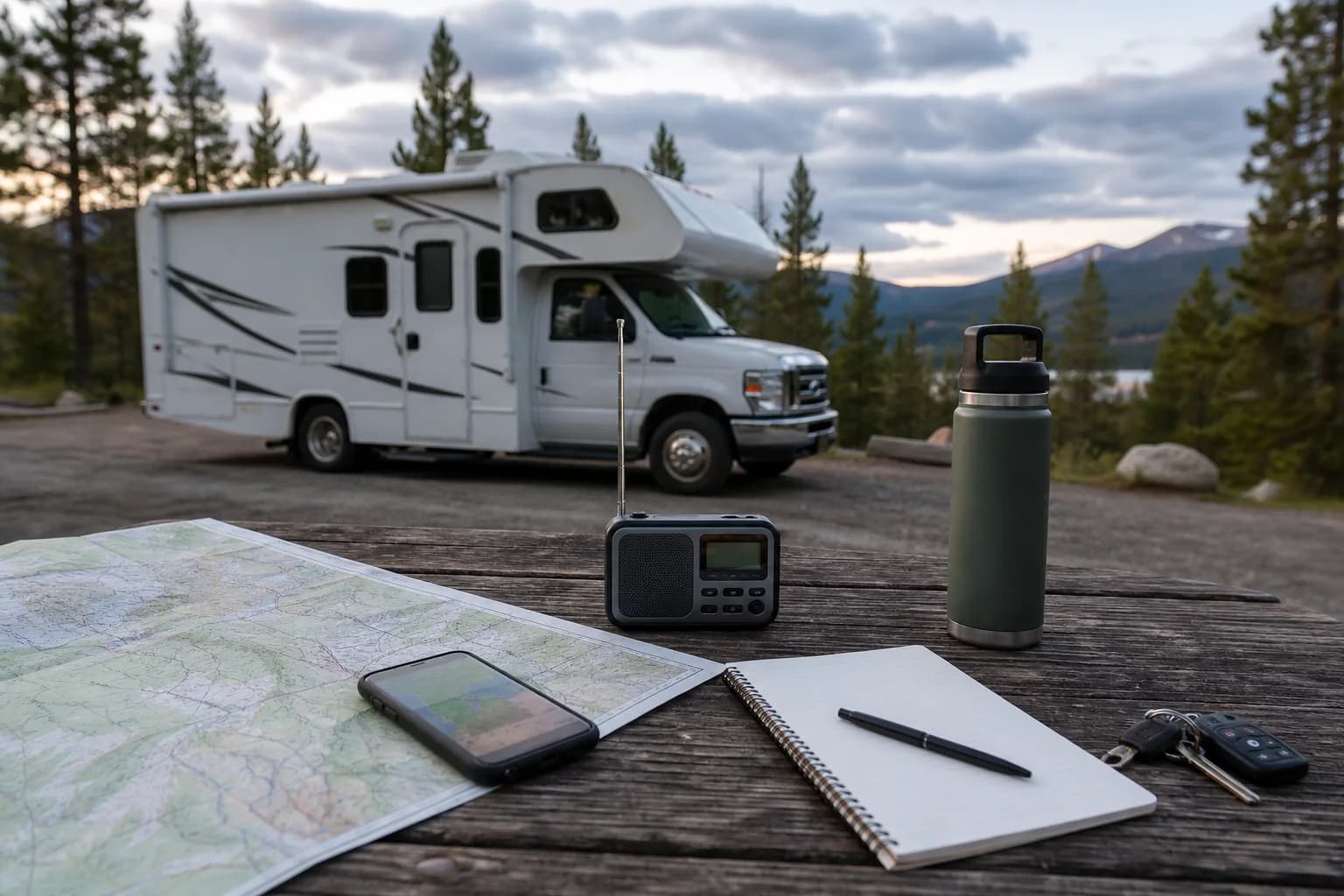
The verified planning guidance at a glance
Source review completed 2026-07-19. Conditions can change quickly, so repeat these official checks for the exact route and travel window.
- National Weather Service preparedness guidance directs travelers to Weather.gov forecasts and alerts and recommends having a communications plan and emergency supplies.
- The Federal Highway Administration points trip planners to public real-time traffic and road-closure information; travelers should use the official 511 or DOT service for every state on the route.
- The National Interagency Fire Center identifies InciWeb as its incident-specific source for maps, updates, and contact information, while its national products provide broader fire-activity context.
- National Park Service wildfire guidance tells visitors to check land-manager restrictions and closures before leaving, follow emergency directions, check forecasts and air quality, and avoid traveling near a wildfire.
- The EPA and U.S. Forest Service AirNow Fire and Smoke Map shows particle-pollution air quality, fire locations, smoke plumes, and smoke outlooks where available; satellite smoke plumes do not by themselves establish ground-level air quality.
What this changes for an RV trip
A closure, construction window, reservation rule, or vehicle restriction can affect RV pickup, campground checkout, drive time, and the route a larger vehicle can use. Build the official access details into the itinerary before paying for a fixed rental or campsite plan.
An open campground or road does not automatically mean every RV or trailer is permitted or suitable. Check the exact vehicle, road, campsite, and rental-owner restrictions together.
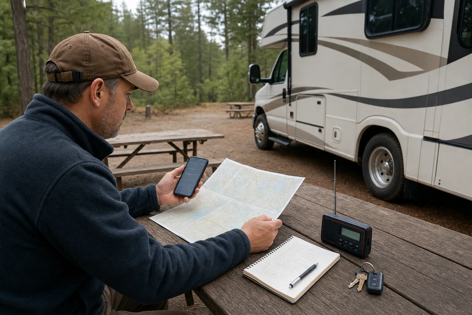
Four checks from booking through each drive
Use the responsible weather service, transportation agency, land manager, fire-information source, and emergency authority as the final word for the route and travel window.
- At booking, check seasonal road limits, campground access, RV length, owner rules for unpaved roads, and whether the itinerary has a realistic alternate route or overnight stop.
- Before pickup, review the point forecast, watches and warnings, every relevant state 511 or DOT page, park alerts, active incident information, and AirNow conditions for the route and destination.
- Before each drive, repeat the checks for the exact corridor and arrival window; save essential confirmations and alternate-route details offline where cell service may be unreliable.
- If officials close an area, issue an evacuation order, or advise against travel, follow that direction and contact the RV owner or booking platform about the changed itinerary instead of treating gear as a workaround.
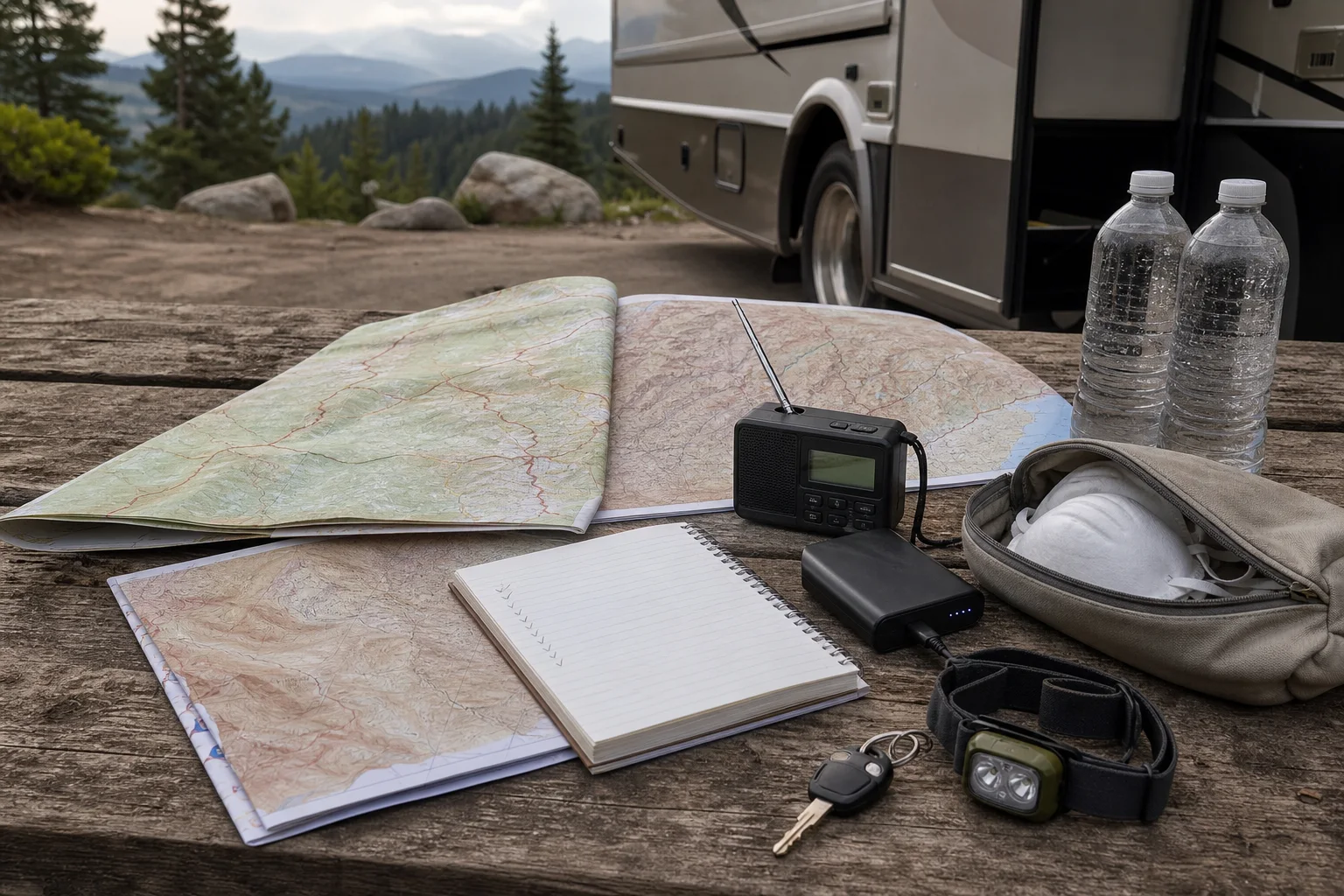
Keep the rental and gear decisions secondary
First confirm the access window, campground fit, RV length rules, pickup timing, and route. Then compare rentals that fit that plan.
Check what the RV owner already includes before buying day-pack or arrival gear. ParkTrip RV links only to broad Amazon categories here, not product prices, ratings, reviews, images, or copied descriptions.
Rental options
Compare RV rental options after the access check
Confirm the road, vehicle-length, campsite, closure, and arrival rules first. Then compare final price, mileage, fees, insurance, availability, owner rules, pickup, and delivery on the booking site.
Trip gear
Route gear to compare
Check what the RV owner includes first. Use Amazon for practical gaps only, and confirm current product details on Amazon before buying.
Packable rain jacket
Weather can change fast around coastal, mountain, and canyon parks.
Waterproof dry bags
Keeps towels, electronics, and spare layers dry inside a damp RV.
Boot tray
A small tray by the RV door helps contain mud, sand, and wet shoes.
Quick-dry towels
Useful for campground showers, river stops, and drying gear without filling the RV with damp cotton towels.
As an Amazon Associate, ParkTrip RV earns from qualifying purchases. Links open category search results. Confirm current product details and availability on Amazon.
Plan the next step
Use these ParkTrip RV pages to connect the guide to rentals, route planning, and trip cost checks.
Sources and checks
Common questions
FAQs
When should I check weather and road conditions for an RV trip?
Check once before booking for seasonal constraints, again before pickup, and before each driving day for the exact corridor and arrival window. Use Weather.gov, each state's official 511 or DOT service, and the destination's official alerts.
Is a wildfire map enough to decide whether an RV route is safe?
No. Use NIFC or InciWeb for incident information, then confirm closures, restrictions, and evacuation directions with the responsible land manager and state or local authorities. Follow official directions if they conflict with the itinerary.
What should I check when smoke is visible on the route?
Review the AirNow Fire and Smoke Map for current particle-pollution conditions and smoke information, plus official incident and road sources. A satellite-detected smoke plume does not necessarily describe ground-level air quality at your location.